

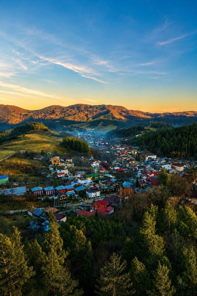
Vrancea will not be told at a single glance. It is a county in south-eastern Romania, at the Carpathian Bend, with its seat at Focșani, and it gathers into one tight space three landscapes that barely touch: the Vrancea Mountains in the west, the sub-Carpathian hills in the middle, and the Siret plain in the east and the south.
The map and the virtual tours show you where the places are. The Stories of Vrancea section is for everything a map has no room for: the people, the crafts, the farmsteads, the story behind a waterfall or a winery, and the reasons a place is worth stopping at rather than driving past.
Where we start
The first stories come from the communes that already have a 360° virtual tour on Go2Vrancea:
- Câmpuri — in the north-west of the county, with the villages of Câmpuri, Fetești, Gura Văii, Rotileștii Mari and Rotileștii Mici.
- Soveja — in the Soveja depression, at the foot of the Vrancea Mountains, with the villages of Dragosloveni and Rucăreni.
- Tulnici — at 512 m above sea level, in the Putna valley, in the heart of the Vrancea Mountains, with the villages of Tulnici, Coza, Greșu and Lepșa.
- Urechești — in the south of the county, first mentioned in writing in the year 1500.
- Vidra — at the entrance to the Vrancea depression, known by its symbolic name, “the Gate of Vrancea”.
- Vizantea-Livezi — with the villages of Livezile, Mesteacănu, Piscu Radului, Vizantea Mănăstirească and Vizantea Răzășească.
What comes next
Every article in this section starts from a real place and from someone keeping it alive: a guesthouse, a smallholding, a trail, a bistro, a winery. You will find them all on the interactive map; here we give them their context.